Ocean weather routing
Routed for how your boat sails.
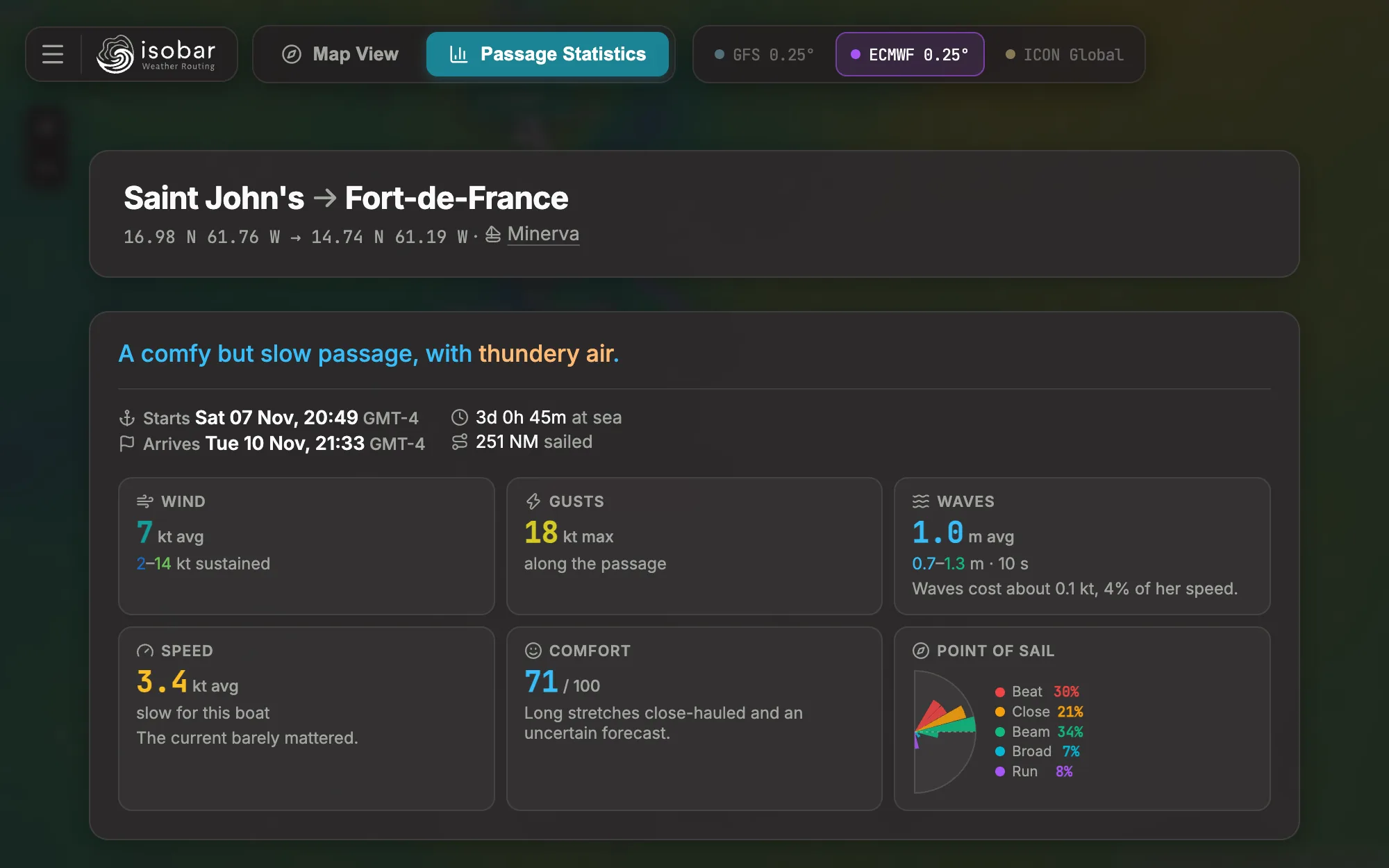
isobar plans a passage through the forecast: the fastest route for your boat, how sure the weather models are of it, and when to leave.
Free to try in the browser. No account, no download.
What it does
-
Your boat, not a sample
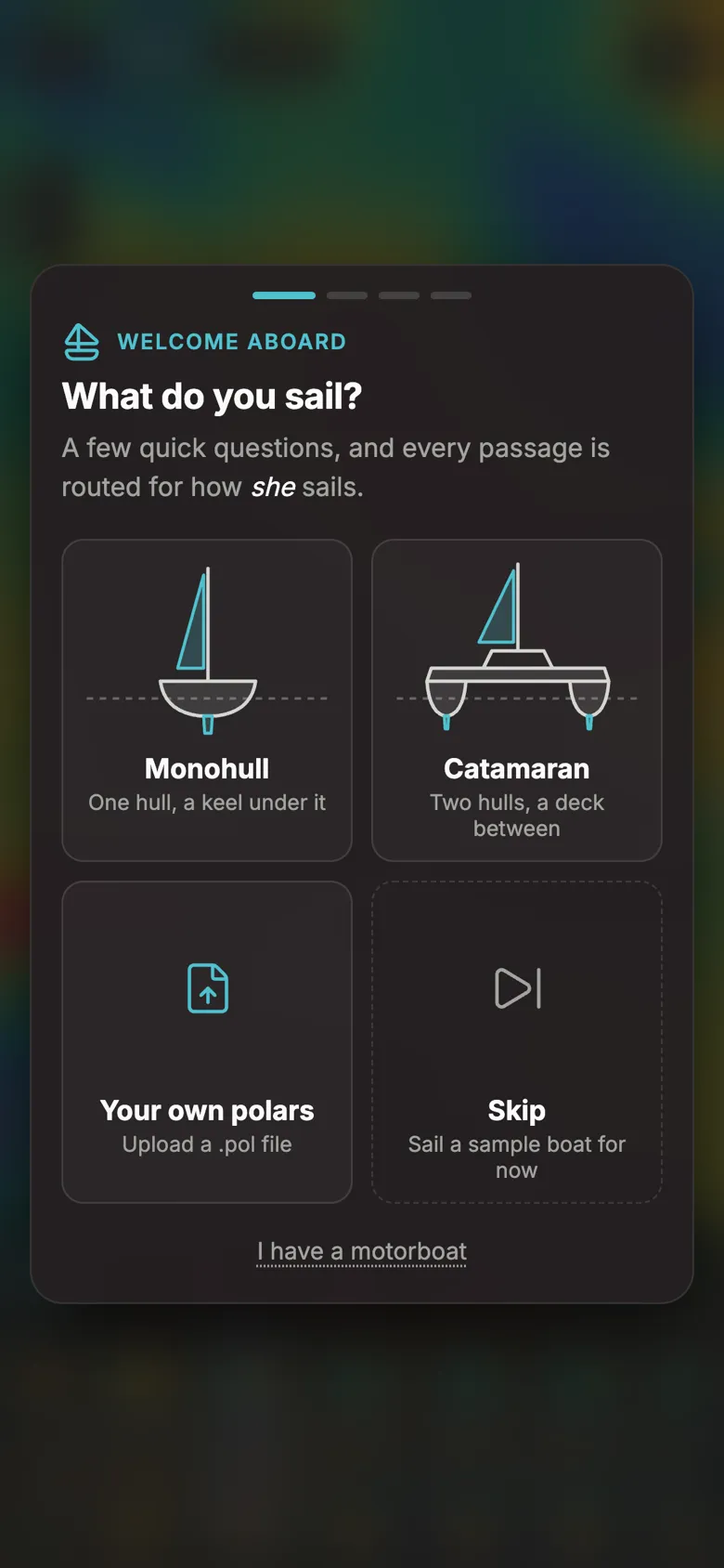
Answer six questions and a velocity prediction program works out her polars. Monohulls, catamarans and motorboats, or upload your own
.pol. -
Three models, one answer
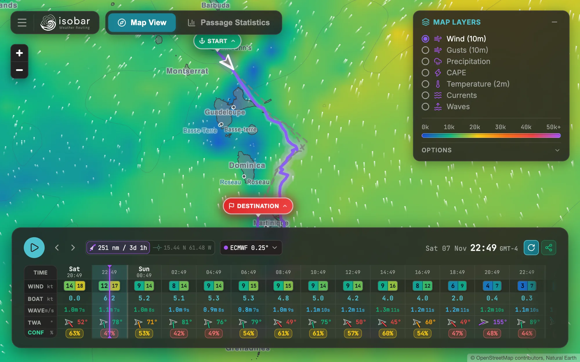
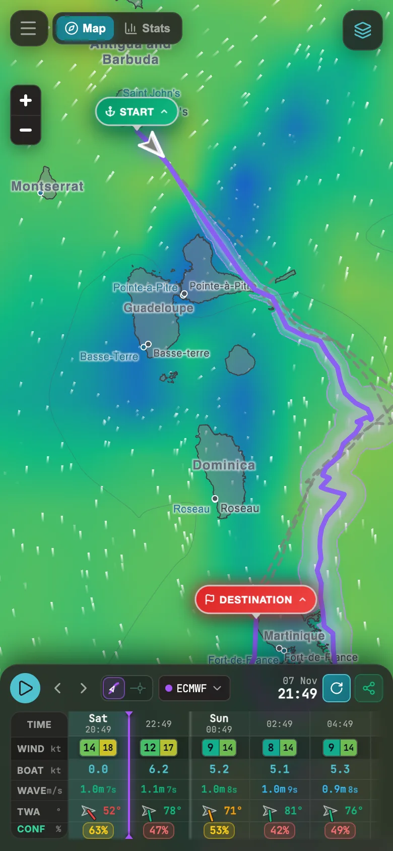
Every passage is routed through GFS, ECMWF and ICON. Where they disagree, a corridor and a confidence score show how far to trust it.
-
When to leave
The window finder routes every departure over the coming days and ranks them by time at sea and comfort.
-
Wind, waves and current
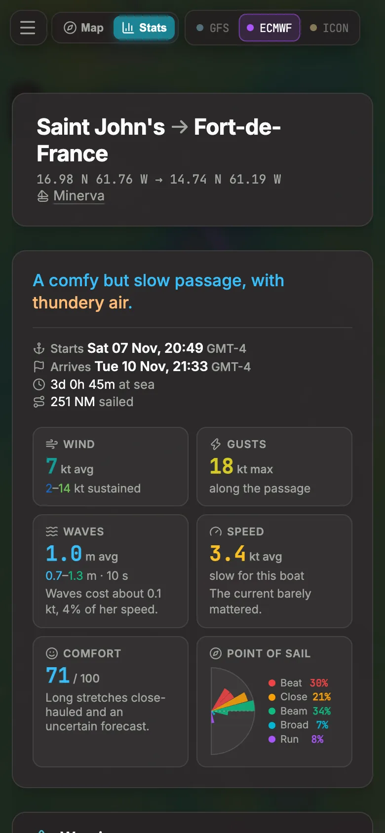
Waves slow her by their height, period and direction; the current carries her. The passage says how much each cost.
-
The whole chart
Wind, gusts, rain, thunderstorm energy, temperature, currents and isobars on a nautical chart, with a warning when a squall lies on the route.
-
Clear of the land
Routes steer round exactly the coast the map draws. Export to your chartplotter as GPX, and your boats follow you between devices.
At the chart table and on deck
The same passage on a laptop before you leave, and on a phone once you're out.